Welcome to

The Leading
Source for
Detroit Regional Data.
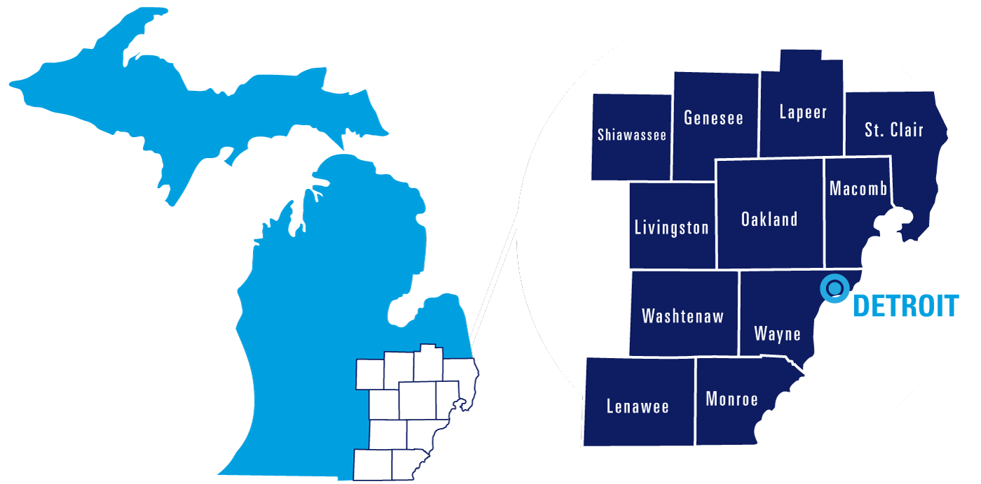
Southeast Michigan Map

Find thousands of data points on the Detroit region in the menu above.

Created with Highcharts 9.1.2Chart context menu0%5%10%15%20%25%Monthly Unemployment 2020-2025Detroit Region (11 counties) vs U.S.
loading data...
Detroit Region (11 counties)
United States
1/2020
1/2021
1/2022
1/2023
1/2024
1/2025
Created with Highcharts 9.1.2Chart context menu$0$100B$200B$300B$400BGross Regional Product 2013-2023Detroit Warren Dearborn MSA
2013
2014
2015
2016
2017
2018
2019
2020
2021
2022
2023
Created with Highcharts 9.1.2Chart context menu0100K200K300K400K500K600K700K800K900K1M1.1M1.2M1.3M1.4M1.5M1.6M1.7M1.8M1.9MPopulation by County 2024Detroit Region (11 Counties)
loading data...
Genesee
Lapeer
Lenawee
Livingston
Macomb
Monroe
Oakland
Shiawassee
St. Clair
Washtenaw
Wayne
402,279
89,168
97,746
196,976
886,175
156,045
1,296,888
67,982
160,308
373,875
1,771,063